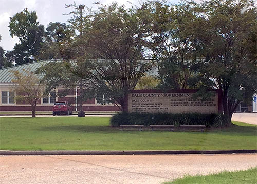
Dale County was created by the Alabama legislature on 1824, Dec. 22. It was named for Gen. Sam Dale, pioneer and Indian fighter. Dale County is located in the southeastern part of the state, wholly within the coastal plain. Approximately forty miles from Georgia and forty miles from Florida, this area is known locally as the Wiregrass, named for a particularly hardy species of grass that grew in abundance when pioneers first came here one hundred and eighty years ago. It is bordered by Pike, Barbour, Henry, Houston, Geneva, and Coffee counties. It currently encompasses 561 square miles. Originally, the county seat was located at Dale Court House, which later became Daleville. The county seat was moved to Newton in 1841and there it remained until an election in 1870 resulted in the removal of the county seat to Ozark. Dale County's two largest cities, Ozark, which is the County Seat, and Daleville, form two of the borders of Fort Rucker, Alabama, one of the largest military installations in the state, the home of Army Aviation, and a primary training facility for most of the military helicopter pilots in the free world.